Course Number
Geog 610
SFSU Bulletin Description
Credits
4
Course Type
College
Department
Course Description
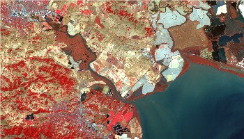
Introduction to remote sensing and digital image processing. Image acquisition, physical background, image interpretation. Display and enhancement of digital images, radiometric and geometric corrections, image transformations, classification using ERDAS Imagine.
Term